100.ANDHRA PRADESH. (4) Guntur-Uppalapadu,Undavalli, Machilipatnam, Challapalli, Kuchipudi.

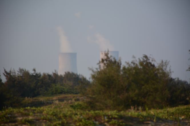
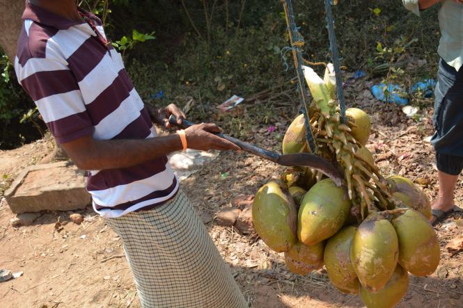
We leave Nizamapatnam and decide to drive to Guntur although it is not on the coast. The idea was to see the Chili growing region and the sight of red Chilies being dried in large quantities. Added to this was the desire to see Vijayawada-Amaravati. and how the new capital of the state shaping up.

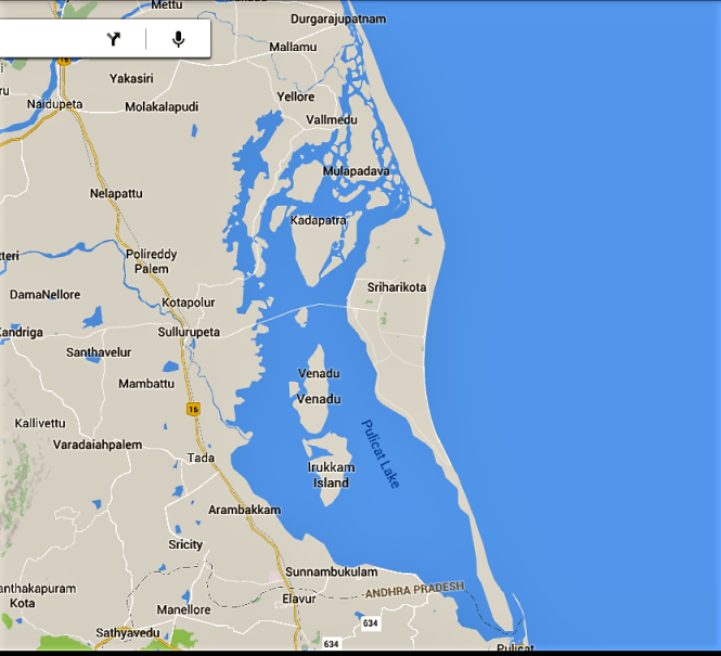
Looking back, it was a disastrous decision. We missed a lot of coast, a Sanctuary and a Lighthouse in the Krishna river delta. In fact, we missed out on the entire Krishna river basin. However, there was the possibility that we would not have made it at all if we had tried to drive in the area. Krishna meets the Bay of Bengal using three different distributaries creating the delta which is marshy and wet. There are hardly any roads in the region. We were warned by an engineer at one of other lighthouses that it would be difficult for us to reach the Lighthouse as it requires a journey of 3 hours by country boat in addition to long road journey.

1

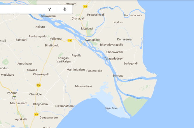
If you look at the map above it clearly shows the absence of habitation in the Delta. I am not yet sure if made a major mistake by going up the Krishna and coming back to join the coast at Machilipatnam. One thing is sure, we missed some coastal places and also the bridge across Krishna.

The trip to Guntur was a disaster. There was no scene of drying chilies. It was not the season. We could not manage to get a reasonable accommodation and when we found one it had a horrible parking underground with an incline of more than 180 degrees.

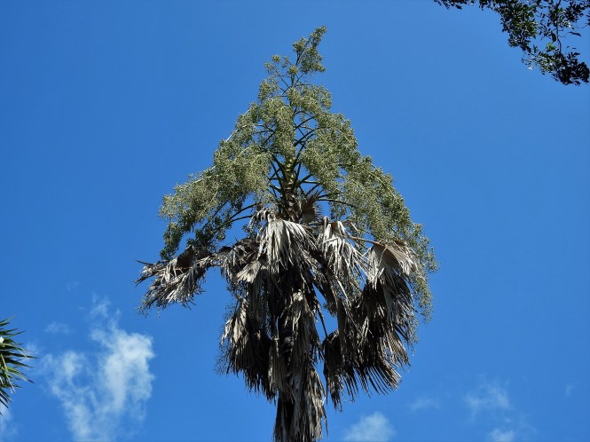
Having come all the way to Guntur we decided to visit Uppalapadu a bird sanctuary located not far from the town. In fact, it is a largish Pond facing a temple which many birds find it convenient to breed.

It is managed by Forest department and they charge an entrance fee. The birds are the usual Spot-billed Pelicans, the Jacanas and a few others.
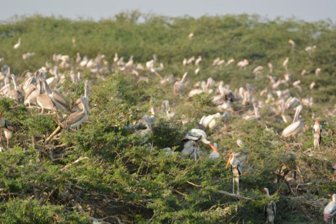
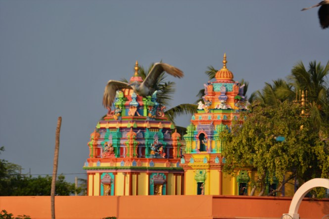
DSC_9022

DSC_9164

DSCN3059

Spot-billed Pelican

In short this is the Beginners Guide to birds. I hope the Guntur residents make good use of it.

We have now to get back to the coast and continue with our travel programme. We have to either get back to near to Nizamapatnam and cross Krishna downstream  or cross Krishna at Vijayawada and go south- eastwards. Our destination is Machilipatnam. We decide on the latter.

We decide to visit Undavalli Caves on the way.

DSCN3129

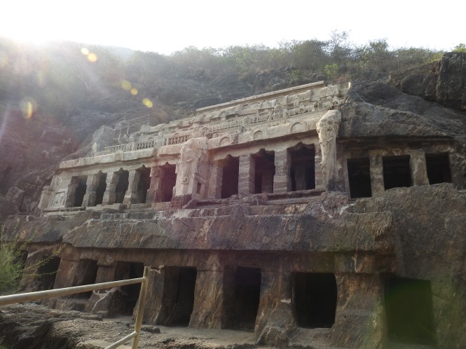
Undavalli caves are dated to 4th and 5th Century. Initially started as a Buddhist Viharas carved into the hill by Buddhist monks, the place was taken over by Hindus later on. It appears to be as a result to change of royal mind of the local kings who initially supported the Buddhist but later on favoured Hindus.

The exteriors:

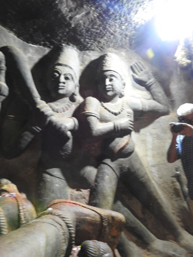
Some scenes of the interiors:

Most of the statues, idols and images are now Hindu.The reclining Vishnu on serpent is the highlight.

DSCN3107DSCN3109DSCN3110DSCN3105

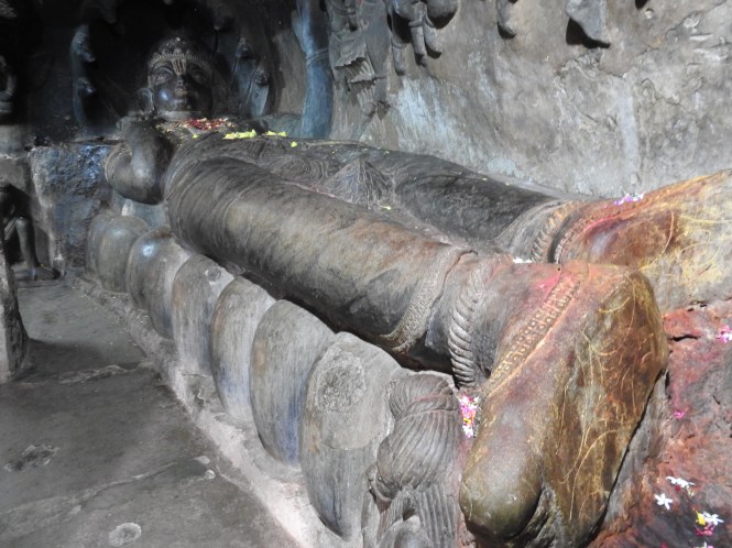
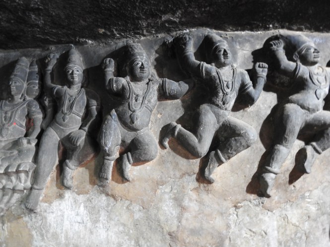
A part of the cave is a functional temple where Puja is conducted. The carvings are numerous and are in pretty good condition. Lovers graffiti is conspicuous by it’s absence. The place being a functional temple appears to dissuades the lovers-cum-artists.

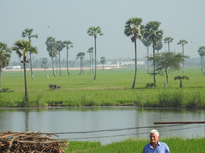
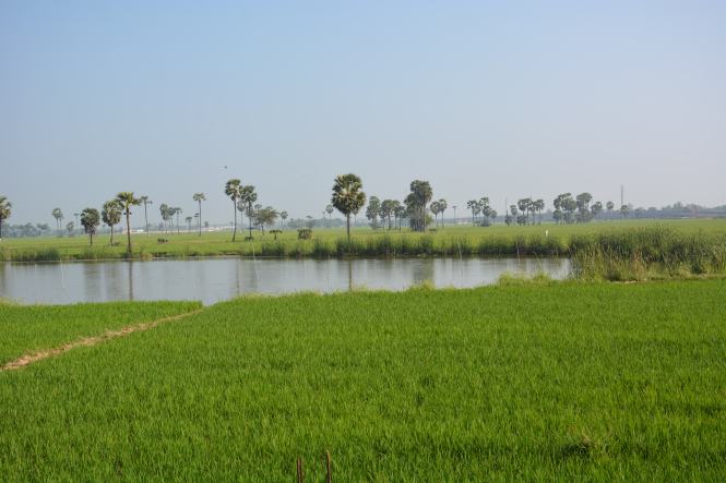
The surrounding part of the countryside is green and beautiful. The Krishna is not far from here.

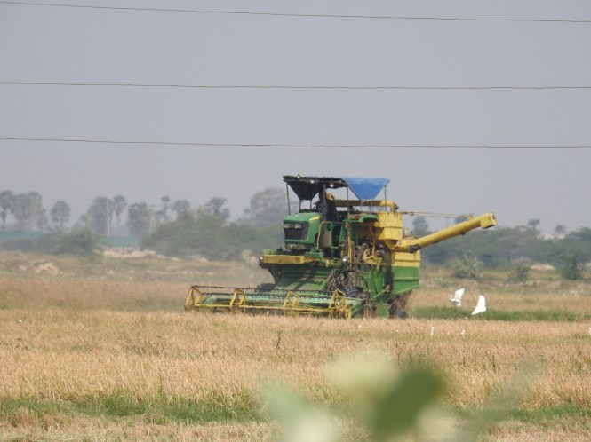
As you drive through this part of Andhra you will notice that the grass /hay generated by the paddy is stored in  the fields. In other parts of the country it is carried and stored near the place of farmer’s residence. The cattle who consume the hay is generally kept nearer the residences rather than the farms.

———–

We pass through Vijayawada but do not stop. Here is the Prakasam in the town. Krishna has a large number of islands in its stream, big and small.

We reach Machilipatnam late in the day to find that all hotels in the town are fully booked till the next day. A big man’s son is getting married and a large number of guests have arrived from other places. The bride or bridegroom seem to be studying or working in US or Europe as we see a number of young white men and women around, most certainly wedding guests.

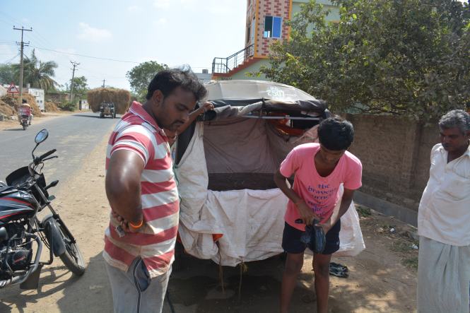
We make another round of the hotels and lodges trying our luck and at the same time considering other possibilities like getting back on to the highway and look for accommodation. At last we come to a hotel where the receptionist says that they don’t have any rooms but they can offer a suit. This is OK by us. We need to take some rest urgently. They have a basement parking like most hotels in the area do and the entrance to the parking is a steep incline.

Machilipatnam has been a French colony which was subsequently taken over by the British. There appears to be no signs of the French presence left behind. At least they are not known. Before that it also used to be the principal port of the Golconda Kingdom and a major centre for the production and export of the famed muslin cloth.

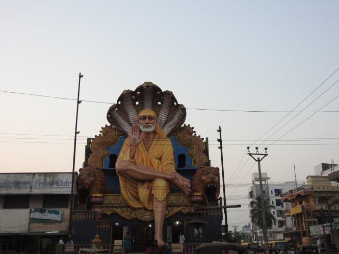
The people here seem to be big fans of Saibaba of Shirdi, not the one nearer home.

DSCN3155

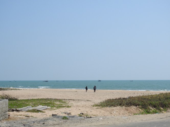
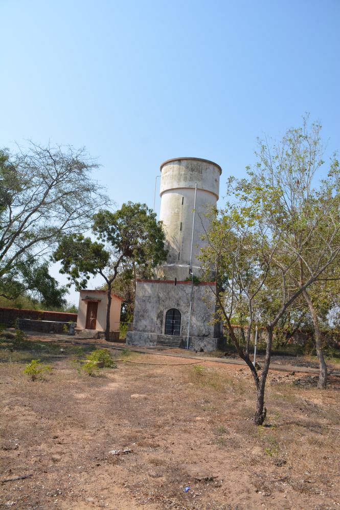
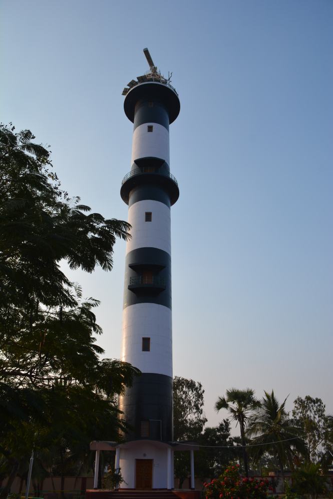
There is not much to be seen in the town but there is a beach and a Lighthouse about 12 Kms away. We go for it. It is called Manginapudi beach. The stretch nearer the beach is a very pleasant drive.

The beach has an ‘entrance’. Beaches should not have entrances and exits. It is a huge beach both lengthwise (seashore) as well the breadth from the sea to the ordinary land.
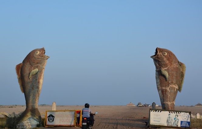
DSC_9318

entrance


DSC_9319

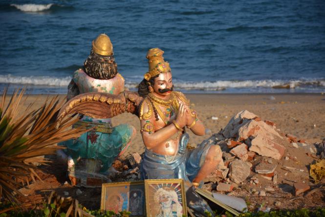
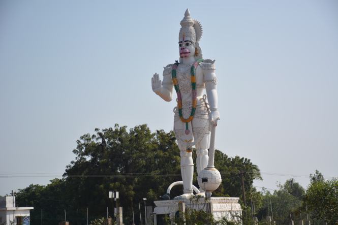
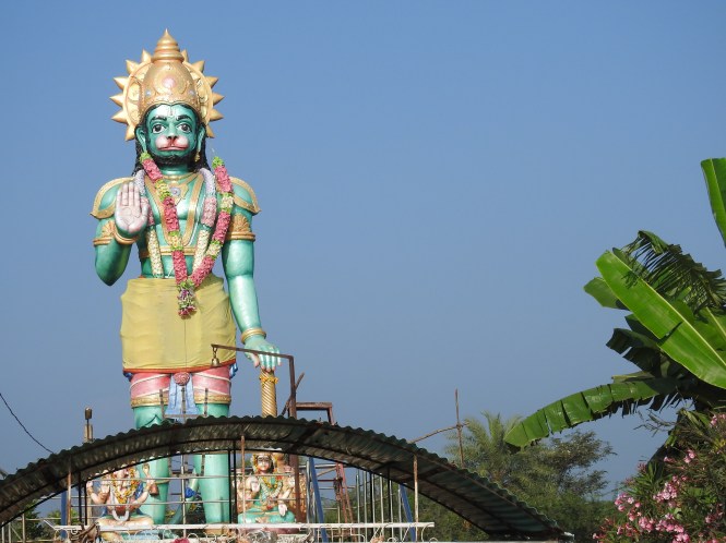
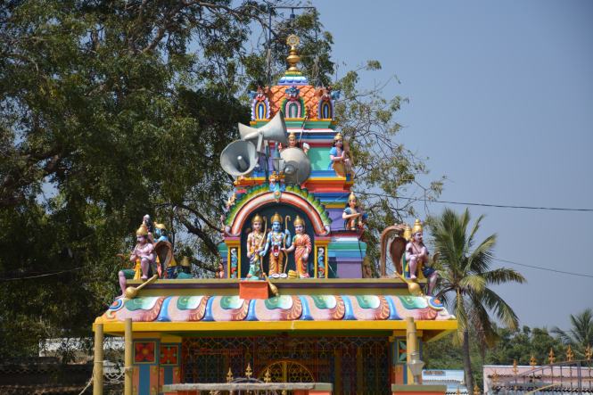
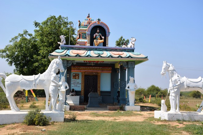
Religious icons add colour to the flat beach.

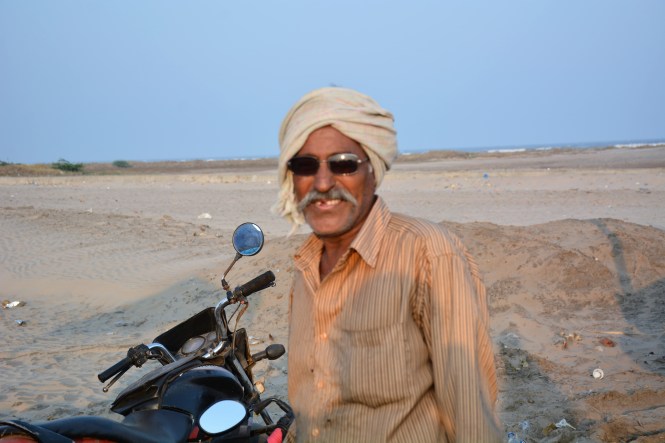
One of the visitors to the beach:

DSC_9324

The Lighthouse at the beach is quite tall, among the tallest in India and according to the keeper, people are not allowed to climb it. Every lighthouse has its own rules. Taking pictures? No problem.

DSC_9306

Next day morning we take off from Machilipatnam to visit two small towns. Challapalli and Kuchipudi.

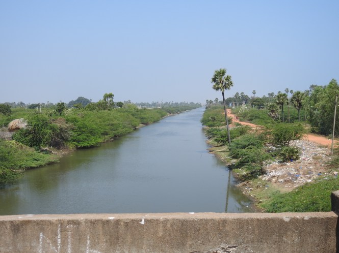
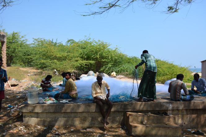
On the way, we again come across a canal. These canals are the lifeline of coastal Andhra.

DSC_9339

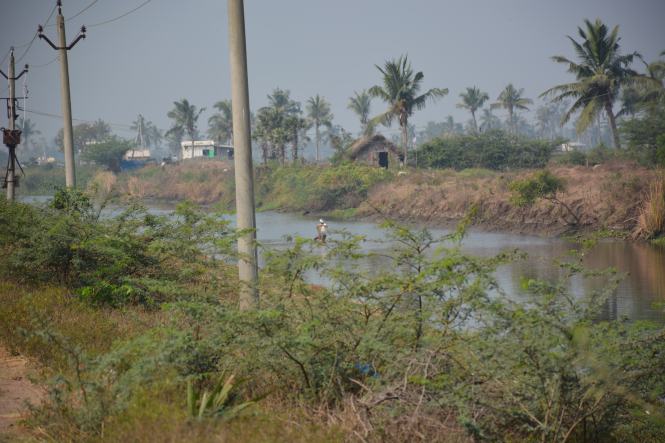
Freshwater canal used for irrigation And fishing.

Between Machilipatnam and Challapalli we come across this depiction of Lord Krishna drinking fresh milk straight from the udders of the cow.

Challapalli is the closest that we approached the Krishna river on the Diviseema Island where the last northern distributary of  the river separates the other two parts of the peninsula. We do not reach the river banks.

Challapalli was the headquarters of  Yarlagadda Jamindars who rules this place and the surrounding countryside in the 16th to the 20th centuries. In the 19th century the ruling Jamindar constructed a palace which is the purpose of our visit.
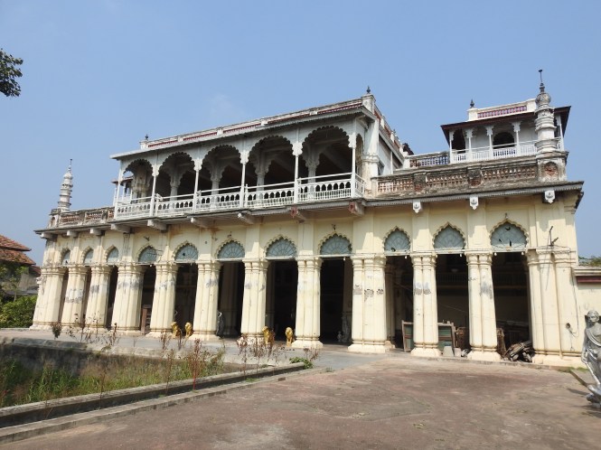
DSCN3161

The Palace or Fort


The palace is not seen easily from the main road outside which is lined up with motor mechanics. There is an outer gate. As you enter, a couple of people materialize from nowhere demanding , what else, money. They say there are the caretakers. By the time we return they have disappeared.

The palace grounds seem to start at this entrance but there are some educational institutions inside which can be accessed through this gate.
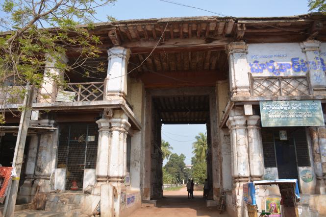
DSC_9350

Main entrance

The palace, referred to here as Fort’, is a modest building with a few artefacts and portraits in the ground floor hall. The upper floor is not open to public. All in all is not a must-see place.

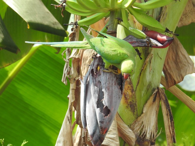
The palace compound has a number of fruiting trees which invite a number of birds including parrots feeding on the bananas. The descendents of the Jamindars do not seem to mind.

DSCN3175

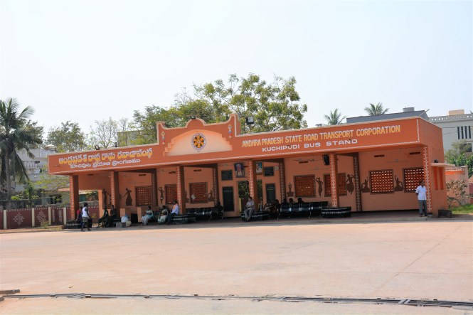
The next stop is Kuchipudi which gave the name to a famous dance form. The town displays the artistic inclinations of its residents.  The entrance gate to the town has been done artistically:

The town Bus Stand has a small garden!!. The Bus Stand is miraculously clean.

DSC_9400

We make a brief visit to the school where the Kuchipudi dance is taught. It is a residential academy.


Text by Suryakiran Naik

Pictures by Suryakiran Naik & Veena Naik

98.ANDHRA PRADESH. (2) NELLORE To CHIRALA.

From Armagaon we drive to Nellore for the night halt. Geographically we should have first touched Krishnapatanam first as it is to the south of Nellore.For logistical reasons, we come to Guntur first, check in a hotel, arrange for servicing of the car next morning and take some rest.

Nellore  is a commercial town and except for a couple of old temples there is nothing of interest to be visited. We decide to take some rest.

The car is delivered back after servicing in the early afternoon next day and we drive to Krishnapatnam. The port appears to be used mainly for imported coal meant for use in the thermal power stations. The long conveyor belts bear this out.

There are a number of power stations in the area and the landscape is almost completely dominated by them.

4

3

The lighthouse is unremarkable but has a pretty garden in the compound. It has a Relay Station as well.

The beach is quite good but do not seem to have many visitors. Firstly, it a bit far from Guntur the nearest town, then one has to cross the port area to reach it.

The main purpose of the beach appears to be for immersion of idols. Or have these idols come from another place, thrown ashore by the sea?

6

We return to Nellore for the night halt and start early morning next day for Kavali which we decide to make our next stop. There is not much to be explored here except the Lighthouse at Ramayapatnam.

The highway up north is a beauty. You drive through the rich green landscape for miles and miles:

DSCN2865

DSC_8784

You cant miss the Hanumans- Anjaneya, on the way. there are a number of them- in all shapes, sizes and colours. I think there is a competition in Andhra Pradesh to build these statues- bigger, taller and colourful.

DSC_8794

h

Thinly veiled Christian evangelism is in competition:

DSC_8813

Ramayapatnam is a small village. You cross the Buckingham Canal and enter it. This is the second time Iam referring to this canal and I will have to defer the expalanation a bit to the next post. In the meatime you can have a look at it as we enter the village:

DSCN2872

This fishing village has a lovely beach.

The Lighthouse is the highlight of the village.

As we move around the village and the beach we across these fishermen mending their nests in the village square:

DSC_8817

There is a small temple as well just opposite the Christian ‘ Meditation Park’. It has a number of megaphones mounted on it, in all direction. A brilliant recipe for a communal riots. If the village folks manage without it, they are great.

DSC_8807

And then my attention is attracted by a solitary man sitting in a corner and working quietly on something. As I approach closer I realize that it is something close to my heart- Shellfish. They find a species of it here which I am seeing forthe first time:

It is difficult to separate the edible portion without breaking the shell. They break the shell and recover the edible flesh. very tedious and very time-consuming. I guess they cook it after separating ( as is done with some types on the Karnataka coast) or the flesh is dried for storage. The language barrier is huge and I am not able to communicate with the person and he does not appear to be very happy doing what he is. It is like forced labour to him.

This area also happens to the groundnut growing area. You will find the groundnut shells being used as fuel for cooking- in large quantities:

We drive through the villages for quite some time and see a rich agricultural region. Watermelons are one of the fruits grown in large quantities here. We stop at a farm to buy some fresh fruit.

We retire to Kavali for the night halt but not before a flat tyre in a remote village. A couple of young guys were very helpful in getting us out of the trouble and make sure that we reached Kavali in time for dinner.

The next day early morning we start from Kavali for Vodarevu Lighthouse and with the intention of  staying at Chirala, probably the best and the most famous beach in Andhra Pradesh after Vizag.

We start very early without breakfast and with the intention that we will have breakfast at one of those small roadside eateries who serve fresh home-made south Indian items. That was not to be.

We are a Tanguturu Toll Plaza and find a ‘Food Plaza’ on top of the Toll Plaza. This is novelty for us:

DSC_8843

We park and take a lift up. The view is good and the food is not bad either.

We proceed towards Chirala bypassing the large town of Ongole on the way. The distance we cover today is about 130 Kms which is not we intended initially but there was nothing much to be seen on the way. Ongole could have been made a stop but that being not on the seashore we decided in favour of Chirala.

Before we reach Chirala we stop at a small village for some coconut water and witness this phenomena.

A small Pick Up parked by the roadside attracts my attention as some people have gathered around it. As I go closer I realize that fish is being sold from the Pick-Up.

DSC_8844

Fish is sold on the roadside on Sunday morning. What is the big deal?

The big deal is that the fishes are alive,in water in the load body of the Pick-Up.

DSC_8845

And to keep them alive an Oxygen cylinders are carried in  the vehicle to keep the water oxygenated.

The fish variety is from freshwater ponds and seems to be in great demand here on this Sunday morning. It is expensive but people are willing to pay for the live fish dressed in front of them.

The cleaning involves ‘skinning’, removing the skin off a living fish. Look at this video:


After this new experience we reach Chirala after midday to find that there is no accommodation available anywhere. The hotels and resorts are full for the week-end. What is the option? try Vodarevu beach six kilometers away.

Vodarevu is an extension of Chirala, the only difference is that Vodarevu is a fishing harbour and Chirala is an upmarket beach destination. Vodarevu does not have many places to stay at but the beach appears to be quite nice although a bit smelly because of the fishing activities.

DSCN2888

One resort agrees to provide us a room but the same is not ready. Some people who checked in on Saturday are likely to vacate. When? the manager is uncertain.

Which is the nearest other place where we can rest? The unanimous advice is -Bapatla.

We turn towards Bapatla but after having a look at the Lighthouse at Vodarevu.

The Indian Roller has been keeping us company from the time we touched eastern coast of India. He shows up every day from the telephone or electrical wires.Here we find him close by on a mound of paddy straw.

We move on to Bapatla.


Text & Video by Suryakiran Naik

Pictures Suryakiran Naik & Veena Naik


97.ANDHRA PRADESH. (1) Sullurupeta- Sriharikota- Armagaon.

We leave Pulicat and drive towards Sullurupeta 71 Kms. away and in the process, cross the Tamilnadu border to enter Andhra Pradesh. Except for the script on the sign boards nothing changes for the first few Kilometers.

We drive westwards to come to the coastal road which will take us to Sullurupeta. We lose our way and drive some distance to see this temple.

1

 And then two botanical surprises. One is a palm in full bloom but dying. The leaves (fronds) have dried but the upper part is full of fruit which I believe the plant is using for propagation of the species.

2

 The second one is a Peepal (fig) tree growing with the support of a palm. The palm is totally weakened and may not survive long. On a closer look I find that the Peepal has its roots in the soil. It is not likely that it is dependent on the palm for the nutrients. This tree usually grows on its own. Then why should it strangulate the palm and virtually kill it? I found the same phenomena once again in another part of Andhra much later.

3

 The place bearing the name Sullurupeta is not well known but Sriharikota is. It is the place where the Satish Dhawan Space Centre of Indian Space Research Organization, is located and forms the nucleus of India’s aerospace launches. We stayed at Sullurupeta on 7th and 8th of February. The manager of the hotel we stayed advised us to stay a few days more if we want to witness the launch of a rocket. On 15th February, they successfully launched the rocket carrying a world-record 104 satellites.

Sullurupeta is 22 Kms. from Sriharikota on the eastern side. A road cuts across the northern edge of Pulicat lake to carry the ISRO people most of whom appear to be staying at Sullurupeta, to the Satish Dhawan Centre.

We never expected to go so close to the place from where the launches take place. Surprisingly one can drive up to the gate of the launch centre without any security check along the dedicated road which cuts through the Pulicat lake.

 Sullurupeta is a small town and apparently is dependent on Sriharikota for much of the action. It is on the Chennai-Kolkata highway. Here is the Google map which gives a good idea of the place. You can see what appears to be a bridge between the two places which is actually a road with provision for the water to pass underneath at various places.

Screenshot_2017-04-17-18-09-07

 We have a look at the local fish market which sells both the freshwater as well as the sea-fish.

 Among the barber shops in town is this one. The customers include many rocket scientists. I decide to have an Haircut here with the hope of getting some rocket science in my head.

  We had decided on a halt at Sullurupeta as it is credited with two bird sanctuaries. The vast Pulicat lake shared by Tamilnadu and Andhra Pradesh is a shallow lagoon that supports a huge variety of marine life which in turn attract a large number of migratory as well as local birds.

It is the second week of February and the summer has set early this year which reduced our chances of any significant bird sightings. We were happy to be proved wrong. On the very first visit we were greeted with a huge flock of Flamingos feeding on the northern side of the lake.

 Here is a video clip:


The next morning was the turn of a sizable number of Spot-billed pelicans to appear and in between there was a wide variety of waders and of course the Painted Storks.

 The shallow water along the road are also used by local people to for small-scale fishing. The water is not deep enough to use boats.

 Nelapattu is officially designated Bird Sanctuary by the Andhra Pradesh Forest Department and it is close to the sea and therefore we cannot ignore it. There are not many people in Sullurupeta in the know of this place. We decide to drive on and try to spend some time there. The nearest place to the sanctuary is Polireddy Palem. We are at the gate early afternoon and it is closed. We wait and look inside to see some signs of life- wild as well as human. There is none. After half an hour some women workers appear at the fence.

I must record here something that I experienced. Many people presume that since Andhra Pradesh was a part of the erstwhile Hyderabad principality, people would be knowing some form of Hindi/Urdu. It is not true. That presumption may be true of region around the city of Hyderabad. The typical lingo of Hyderabad never percolated down to the whole state. Certainly not to the coastal Andhra Pradesh.

The ladies try to explain to us about a death of a staff and that being reason for the closure of the sanctuary. We return to the hotel. The hotel manager makes his inquiries and informs us the next day that one of the staff members of the sanctuary had died in a road accident that day and the sanctuary had to be closed and will remain closed the next day as well. We have no option but to skip it and proceed with our travels.

Our next night halt is to be the town of Nellore but south of Nellore along the coast is a lighthouse. The name of the place is Armagaon. We try to find out from various people at Sullurupeta if we can go to Armagaon driving along the coast and without going up to the highway. There are no satisfactory answers and the Google map is not of much use. At last we meet a young guy who is conversant with the topography.

‘Yes, you can go along the coast’

We are very happy.

‘But you will have to leave the car behind. Your car will not go’

‘Why? is the road so bad?’

‘Road is good but there are a couple of places where you have to cross in country boats and they might find it difficult to take the car in’

We get the message and drop the idea. The lake is shallow but the guys at Renault did not make my Duster fit enough for a Normandy-style landing We drive along the highway up north and branch off to Armagon Lighthouse the next day. It is quite a bit of driving. The first part is on the highway and pleasant. Then you leave the highway and take the country roads with a number of villages along. We reach Armagaon early afternoon.

 One has to cross an institution called to Buckingham Canal to reach the Lighthouse. We will visit this Canal later on in another post in some detail.

 A lighthouse was built here in the year 1853 by the British. It was abandoned in the year 1928 on account of widespread attacks of Malaria. It was brought back into use in 1938. It worked from 1938 to 1983 when a new and taller lighthouse was built.

This is the old lighthouse now used as a water tank. Brilliant alternative use of a Lighthouse. Who says bureaucracy is inefficient?

DSC_8740

 The new Lighthouse. This one was more or less abandoned when we visited. There was nobody inside the compound. We waited for some time then made inquiries in the surrounding locality. The locals tried to be supportive of the staff who had gone about their own business leaving the lighthouse to the winds. They assured us that the guys will come back after half an hour.

We decided to go and visit the beach. A good beach but so remote from the population centres.

  We drive back and have our customary coconut water on the way. Here we find a new type of knife for cutting the green coconut,  quite different from the one we had seen down south. This one has a long handle.

DSC_8751

 We drive through rich agricultural lands where combined harvesters are used even in paddy fields. We are now nearing the rich Krishna-Godavari basin.

DSCN2845

 We reach Nellore for a late lunch and for some rest.


Text by Suryakiran Naik

Pictures by Suryakiran Naik & Veena Naik

Video: Veena Naik